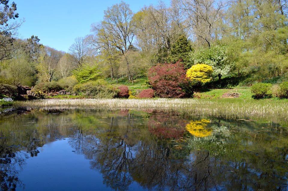
Craig-Y-Fan Ddu Ridge Walk
 There’s nothing more beautiful than a clear, crisp, and fresh winters day walk.
We parked in the Upper Blaen Y Glyn carpark (which in itself is an ideal location for waterfall hunting and picnicking) and headed up the steep path next to the cattle grid that lies to your right as heading out of the carpark.
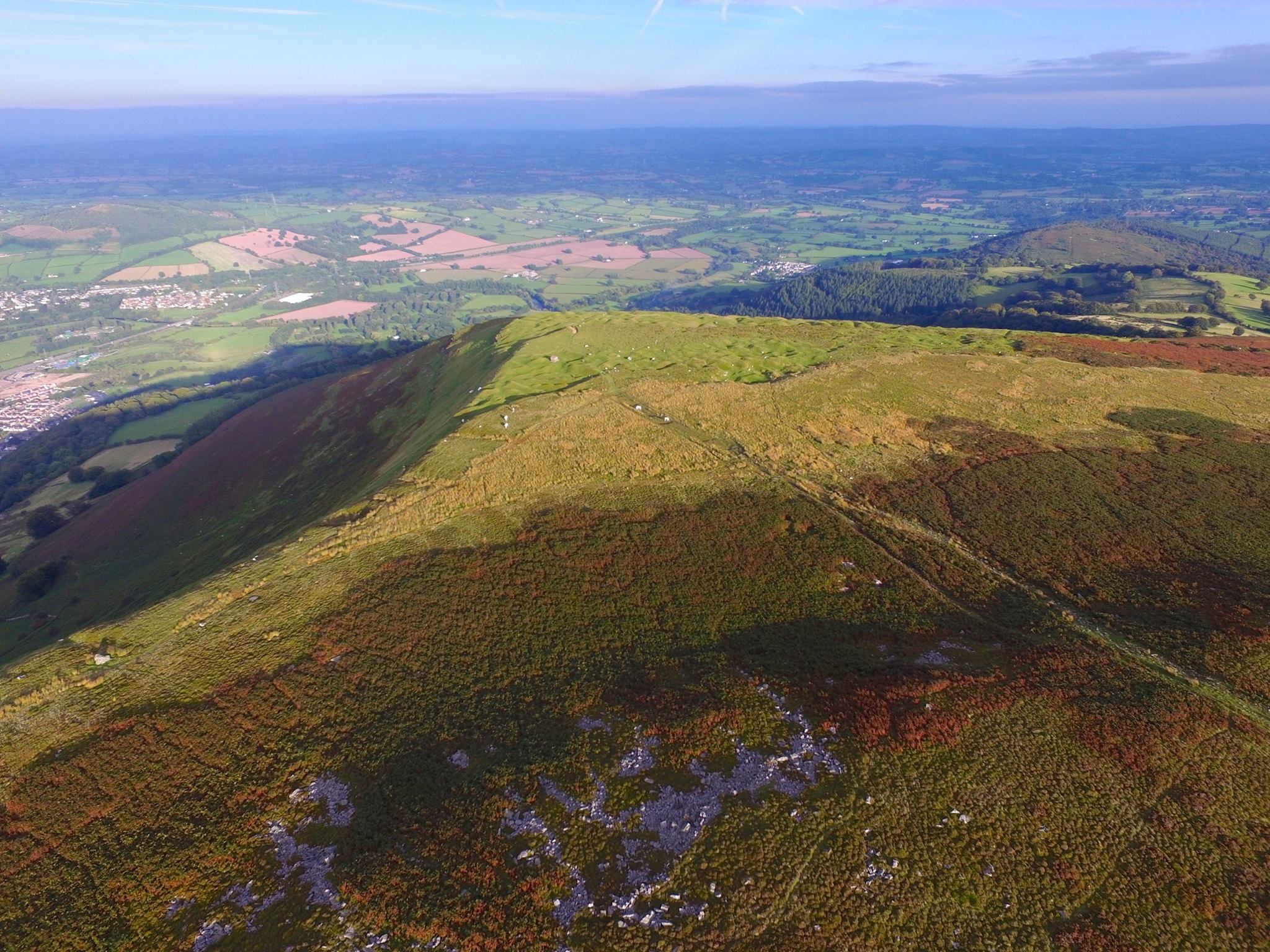
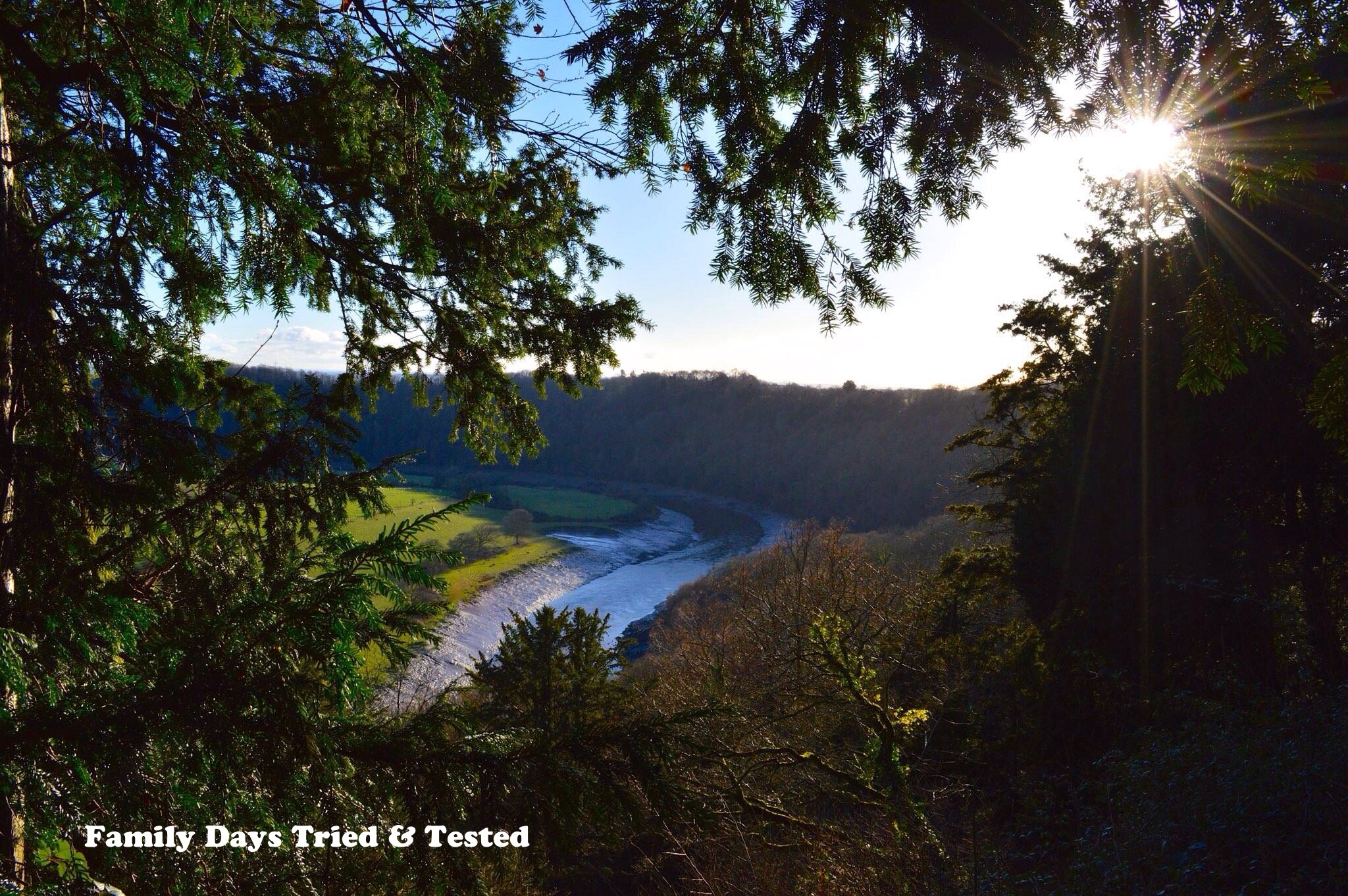
We climbed the path heading for the visible Craig Y Fan Ddu towering above us. Our intention was to climb up onto the ridge and follow the route around to the right along Graig Fan Las until we reached the crash site of the Wellington Bomber that lays on Waun Rwdd….it was our plan to lay our memorial poppy here which we had been unable to lay a few weeks prior after deciding not to climb due to weather warnings.
As it was we got to the top of the first ridge accompanied by a beautiful blue sky to discover that the adjoining ridges were hugged with whiteout cloud, we took the choice to walk to the edge of the cloud before turning around and heading back the way we had come with clear visibility, it is best to avoid walking into thick white cloud as it often requires a heightened orienteering stance, can be considerably colder and has very low visibility. As much as we were prepared we wanted a blue skied walk….This meant that we did not reach the Wellington site but we found an equally beautifully placed memorial on our route and laid our Poppy.
As we headed back down the sun began to descend and everything was cast into a stunning orange glow as the day slipped away.
Our walk approx 3 hours. Here’s our walk…


 with our Poppy laid we walked to the edge of the cloud..
 and then we headed back down..after we’d took time to admire the view and have a donut 🙂


Directions..Upper Blaen-y-Glyn Car Park is in Blaen-Y-Glyn which is part of Talybont, BRECON Beacons, Mid Wales.
Once in Talybont-on-Usk follow signs for Talybont reservoir, passing through the village of Aber, continuing until Forestry Commission signs are seen. Follow the road over a small bridge and up a steep hill, crossing cattle grids on the way. The car park is located on the right at the top of the hill.
Talybont-on-Usk is the nearest town or village.
OS Grid Reference: SO 056176
Here’s a map of our route